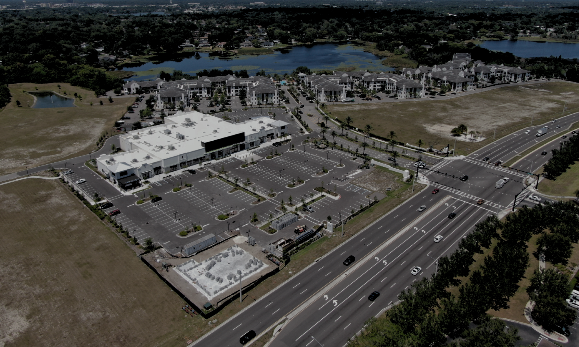
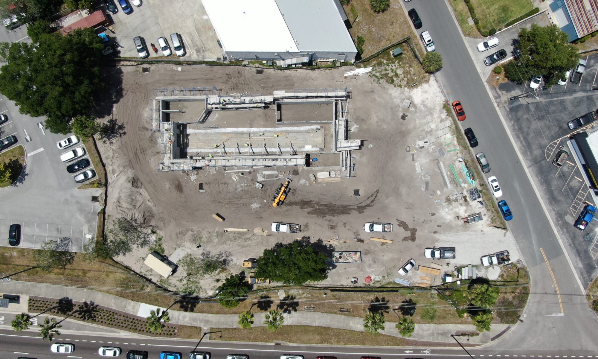
Unlock New Perspectives with Drone 3D Mapping
Drone 3D mapping offers a cutting-edge solution for capturing and visualizing spaces like never before. By transforming hundreds of aerial images into a detailed, 3-dimensional model, you can explore a location virtually from any angle, giving you unprecedented insight for planning, analysis, and decision-making.
1. Explore Locations Virtually
With 3D mapping, you can immerse yourself in a location without ever setting foot on-site. The 3D model provides a realistic, interactive view of the area, allowing you to explore every aspect virtually. This is ideal for remote site management, inspections, or even presentations to stakeholders who want a comprehensive understanding of a project’s scale and layout.
2. Comprehensive Visualization
Drone 3D mapping captures hundreds of images from multiple angles and merges them into one cohesive, highly detailed 3D image. This creates a complete, accurate visual representation of the site, capturing every object, structure, and feature in the area. The ability to rotate and zoom into any part of the model ensures that no detail is missed.
3. Perfect for Planning and Expansions
Whether you’re planning new developments or expanding an existing project, 3D models are invaluable. They provide a detailed record of the current layout, making it easy to identify suitable areas for expansion, assess potential obstacles, and ensure new elements integrate seamlessly with the existing environment. The virtual exploration of the 3D model enables precise planning and problem-solving, saving time and reducing errors.
4. Accurate Data for Improved Decision-Making
3D mapping doesn’t just provide a visual representation—it offers measurable data. You can accurately assess dimensions, distances, and volumes, helping you make informed decisions about space utilization, construction, or project development.
Benefits of Drone 3D Mapping
- Immersive Virtual Exploration: Experience the site from any angle without being physically present.
- Detailed, Realistic Visuals: High-resolution 3D images capture every object and structure in the location.
- Enhanced Planning Capabilities: Perfect for planning expansions and integrating new developments into existing projects.
- Accurate Measurements: Gain precise data on dimensions and distances for improved decision-making.
Drone 3D mapping revolutionizes the way you view, manage, and plan your projects. With detailed virtual models at your fingertips, you can explore, analyze, and make decisions with greater confidence and efficiency.


