Orthomosaic Images: Precision from Above
Orthomosaic images offer unparalleled accuracy and detail, transforming the way industries manage large-scale projects. These ultra high-definition, true-to-scale images provide critical insights for project tracking, logistics, and documentation, ensuring your operations run smoothly and efficiently.
1. Ultra High-Definition Precision
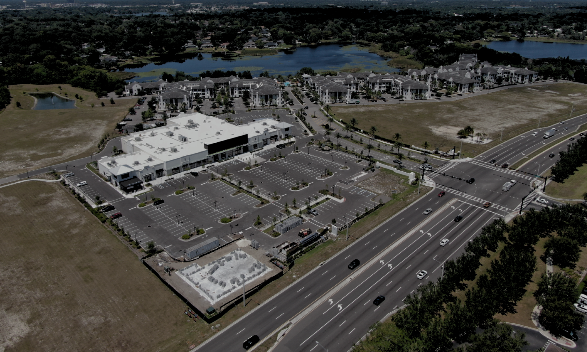
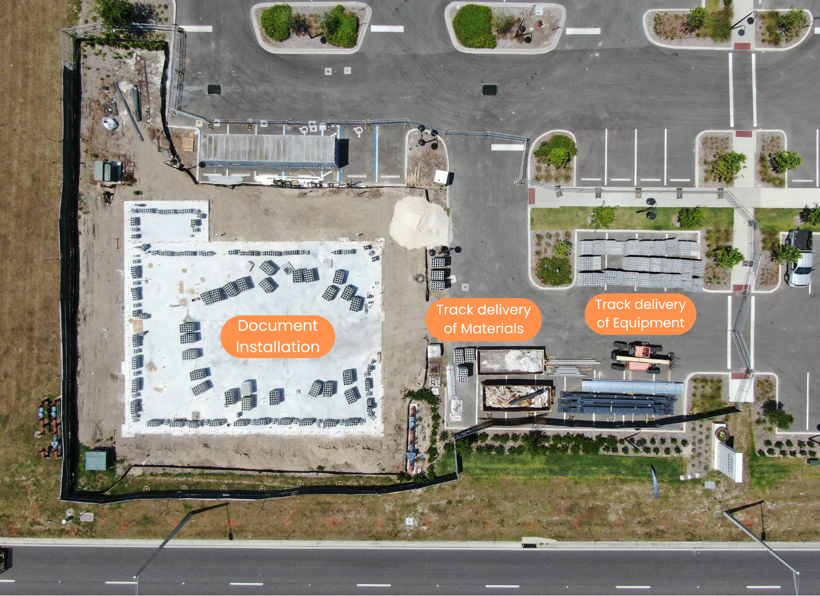
Orthomosaics are created by stitching together numerous high-resolution images into one cohesive, detailed map. This process results in a true-to-scale, highly accurate representation of a location, capturing every detail with clarity. Unlike standard aerial photos, orthomosaics provide a measurable 2D map, allowing for precise calculations of distance, area, and volume, all from the comfort of your computer.
2. Keep Projects on Time
Orthomosaic images are invaluable for project management. They enable real-time tracking of logistical flows, such as material deliveries and equipment placement, ensuring every aspect of your project is moving according to schedule. With the ability to measure progress and identify potential issues early, orthomosaics help you stay on track and avoid costly delays.
3. Create a Permanent Record
With orthomosaic images, you have a permanent, date-stamped record of installations and site conditions at various stages of your project. This visual documentation is essential for audits, compliance, and future reference. Whether it’s to verify the accuracy of installations or to maintain a historical record for future modifications, orthomosaics provide the detail and reliability needed for confident decision-making.
4. Applications Beyond Construction
Orthomosaics are not only useful for construction and industrial projects. In agriculture, they can be used to monitor soil erosion, track the health of vegetation, and identify areas in need of water, fertilizer, or pest control. These images offer a data-driven approach to managing land, ensuring optimal use of resources and improving crop yields.
The Power of Orthomosaic Imaging
- Highly Accurate, Measurable Maps: Measure distances, areas, and volumes with precision.
- Track Material and Equipment Flow: Keep projects on time by monitoring logistical movements.
- Permanent Installation Record: Create a detailed, permanent record of every stage of your project.
- Versatile Applications: From construction to agriculture, orthomosaics offer insights for a wide range of industries.
Elevate your project management with orthomosaic imaging and ensure every detail is captured with unmatched accuracy.


